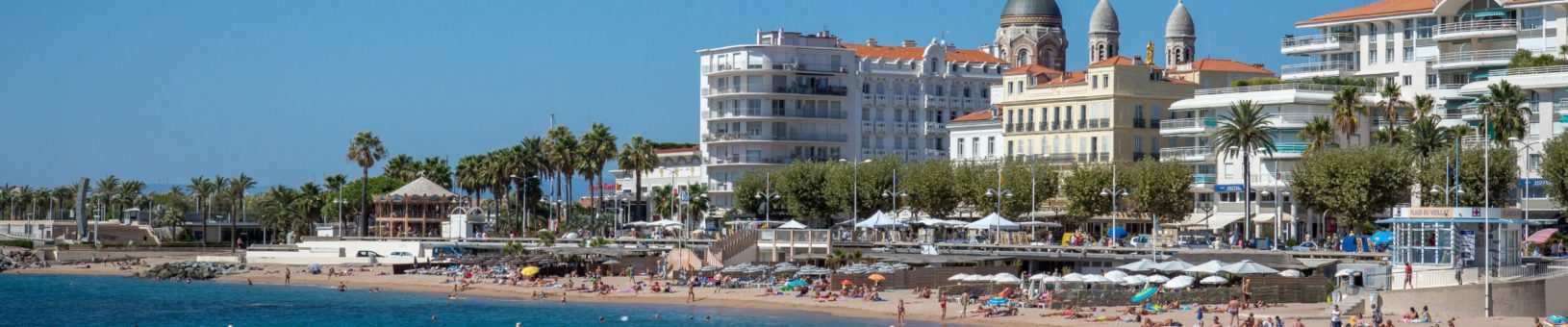
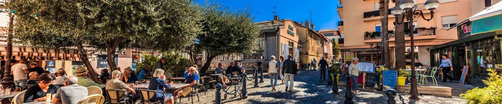
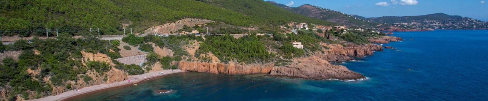
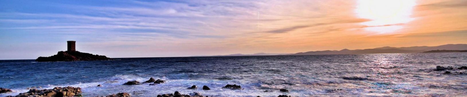
Saint-Raphaël
A Feeling of the French Riviera
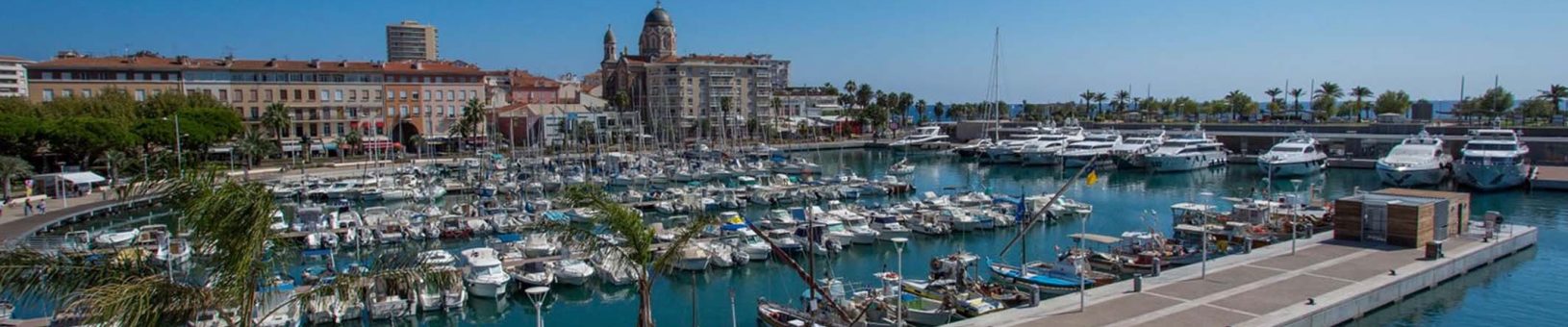
Home Ports Welcome to our ports Saint-Raphaël Technical Information & Port Maps
Tour et Musée Saint Raphaël ©Office de Tourisme StRaphael
Saint Raphaël port map
| anchorage information | |
|---|---|
| secure anchorage(s) position lat./lont. | 43°24’87 N – 06°45’95 E |
| min depth of anchorage | 25 m |
| type of bottom | Sand |
| wind current | E / W |
| General slope of bottom | Flat |
| distance to tender landing dock | 800 m |
| minimum depth of channel of fairway to tender dock | 6 m |
| minimum depth of water at tender dock | 4 m |
| tendering information | |
|---|---|
| distance to tender landing dock from anchorage | 800 m |
| number of tender berths (for 150 person ship tender) | 1 |
| type of bitts/bollards at tender berth | Fortification Delta on Kennedy |
| height of tender dock above the water at low and high tide | 3.5 m – 4.5 m |
| describe the way passengers get on/off the tenders (are their steps, etc ?) | Gangways setting up ok |
| Are the tender areas wheel chair accessible ? | Yes |
| general information | |
|---|---|
| Terminal/Restrooms in pier area | Yes |
| Shuttle bus | No |
| Parking place for buses | Yes |
| Taxi | Yes |
| Rental cars | Yes |
| Public transportation | Yes |
| Shopping | Yes |
| Local currency | € |
| ATM | Yes |
| Tax refund | No |
| Public telephones in pier area | No |
| Internet access in pier area | At the tourist office |
| Mailboxes in pier area | Yes |
| Distances - airport | 50 km |
| Distance to city centre | 50 meters |
| Nearest hospital | 5 km |
| Port Services / Facilities & Information | |
|---|---|
| Bunkers delivery /method | No |
| Grey water | No |
| Waste handling | No |
| Waste water method | No |
| Anchorage | 43°24'70 N - 006°45'30 E |
| Pontoons | 1 |
| Emergency | Channel 12 |
| Medical emergency | 112 |
| Tidal movement | No |
| ISPS approved | No |
| Designated quays for cruise ships | None |
| Beam | None |
| WiFi | At the tourist office |
| Max size ship in port | For tenders dock: 15m / Others: 50m |
| Max number of passengers per day in port | No limitation |
| Max number of ships per day in port | 900 |
| Ship’s stay min /max | No limitation |
| Environmental limitations /restrictions | None |
| Maximum ship length | No limitation |
| Maximum ship draft and depth in sea | > 3.5M |
| Maximum ship airdraft if bridge | None |